|
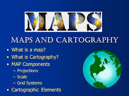
There are many types of maps and map projections. We will use both physical and political maps as well as thematic (have a theme, such as economic maps or cultural maps). Maps have many elements such as coordinates, latitude & longitude lines, a compass rose, a scale, and keys or legends that explain the various symbols used.
|
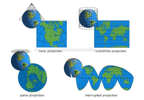
Projections
Maps take a spherical object (earth) and project it onto a flat surface. All projections result in some distortion.
|
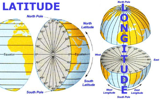
Latitude & Longitude
Measured in degrees (angles, not temperature!) Helps find location using coordinates.
|
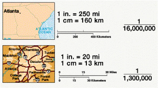
Scale
Used to determine distance on a map. Maps can be either large scale or small scale, depending on how much area they show.
|
